Grant Background
The Northwest Alabama Council of Local Governments (NACOLG) was awarded a Planning and Demonstration grant to develop a comprehensive Safety Action Plan with a Vision Zero foundation which focuses on safety and mobility for all roadway users. The Vision Zero approach recognizes that humans will make mistakes, so roads and transportation systems must be designed to prevent those mistakes from resulting in fatalities or serious injuries.
Quick Links
Project Description
The purpose of the Safety Action Plan is to establish a comprehensive and collaborative framework to reduce roadway fatalities and serious injuries by identifying risks, prioritizing improvements, and advancing data-driven safety strategies across Colbert and Lauderdale counties, with a primary focus on the Shoals area in Northwest Alabama.
What is SS4A
Safe Streets and Roads for All (SS4A) is a federal grant program created to help communities reduce and ultimately eliminate fatal and serious injury crashes for all roadway users.
Pop Up Event
When: Friday, June 5, 2026 from 5:30 p.m. to 8:30 p.m.
Where: First Friday event in Downtown Florence, located along Court Street
What safety issues are you experiencing in Colbert and Lauderdale Counties? Stop by our booth to talk with a team member and be entered into a giveaway.
What Do We Want from You?
We need your help identifying where safety issues exist in our community. By sharing what you see and experience, you can help shape safer streets for everyone.
Your feedback matters. Please add a comment to the interactive map or complete the survey at the bottom of this page.
Interactive Map
This map was developed for the public to leave a comment at a specific location within the study area. For example, if you feel there is congestion at a specific intersection, please use the comment tool to place a comment. Comments can be general notes or specific concerns related to safety in the area. The comment tool is to allow users an opportunity to provide feedback on areas of concern for all road users. Place your comment within the study area boundary outlined in gold on the map.
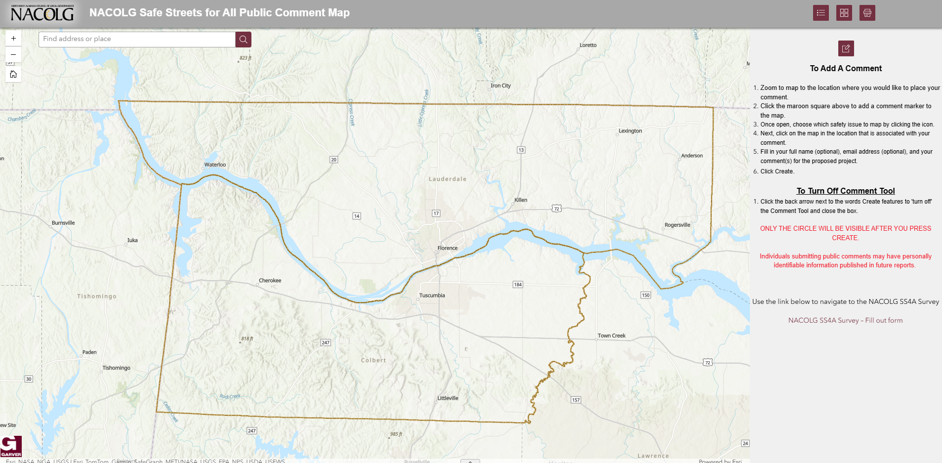
Click on the Picture Above to Access the Interactive Map 🔗
Use the map tools to enhance your viewing.
Type an address to find a specific location
Use the map legend
Add a comment to the map
Return to the default view
Change the map background
Print the map
Measure distances on the map
View map full screen
-
+/- to zoom in and out
Use the map legend to enhance your viewing.
 Unsafe Pedestrian Crossing
 Lack of Sidewalks
 Lack of Bick Lanes
 Distracted Driving
 Poor Lighting
 Speeding
 Dangerous Intersection
 Traffic Congestion
 Other
Other
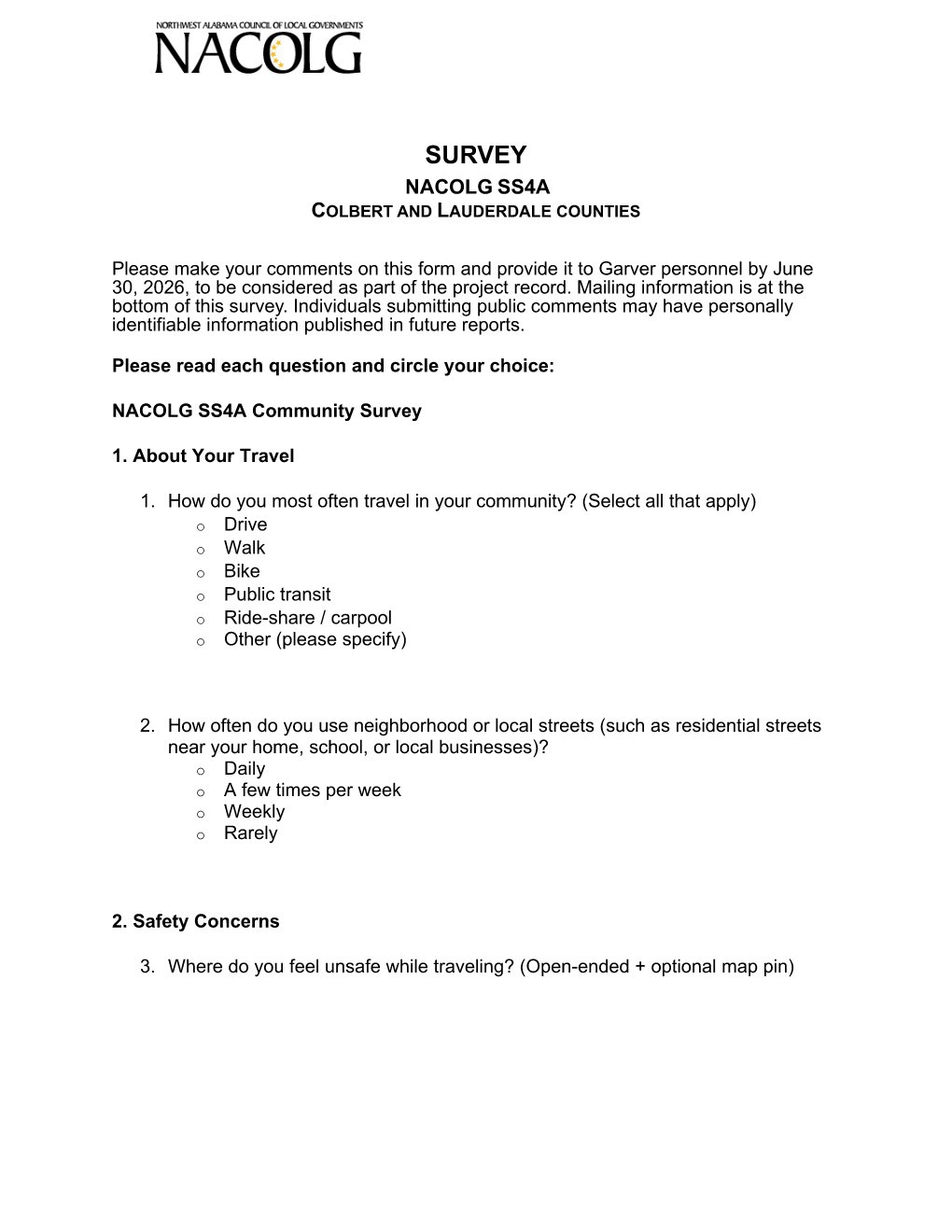
Community Survey
Scroll down to answer form fields and then click Submit.
Clickable Survey
Please click the icon below to access a mobile friendly version of the survey.
🔗